
Item Link: Access the Resource
Date of Publication: September 22, 2017
Year of Publication: 2017
Publisher: American Meteorological Society
Author(s): Marlene Kretschmer, Dim Coumou, Laurie Agel, Mathew Barlow, Eli Tziperman, Judah Cohen
Journal: Bulletin of the American Meteorological Society
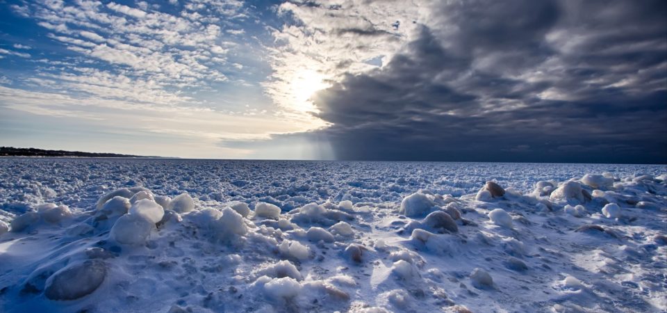
As winter draws nearer for the Northern Hemisphere, are the cold snaps and blizzards of recent years likely to continue for mid-latitude areas?
ABSTRACT: Over the last decades, the stratospheric polar vortex has shifted towards more frequent weak states which can explain Eurasian cooling trends in boreal winter in the era of Arctic amplification.
The extra-tropical stratosphere in boreal winter is characterized by a strong circumpolar westerly jet, confining the coldest temperatures at high latitudes. The jet, referred to as the stratospheric polar vortex, is predominantly zonal and centered around the pole; however, it does exhibit large variability in wind speed and location. Previous studies showed that a weak stratospheric polar vortex can lead to cold-air outbreaks in the mid-latitudes but the exact relationships and mechanisms are unclear. Particularly, it is unclear whether stratospheric variability has contributed to the observed anomalous cooling trends in mid-latitude Eurasia. Using hierarchical clustering, we show that over the last 37 years, the frequency of weak vortex states in mid to late winter (January and February) has increased which were accompanied by subsequent cold extremes in mid-latitude Eurasia. For this region 60% of the observed cooling in the era of Arctic amplification, i.e. since 1990, can be explained by the increased frequency of weak stratospheric polar vortex states, a number which increases to almost 80% when El Niño/Southern Oscillation (ENSO) variability is included as well.
Access the full article here.